Learn about our customized treks
Take a look at the fascinating trekking routes that our agritourism, relying on external entities and professionals who collaborate with us, can help you organize. These amazing experiences will allow you to immerse yourself in the natural beauty of the Val d'Orcia, Val di Chiana and neighboring Umbria, far from the hustle and bustle of everyday life. Walking through lush forests, scenic lakes and scenic trails, you will have the opportunity to observe local flora and fauna, breathe fresh air and enjoy the serenity that only nature can offer. Each trail is designed to meet different needs and abilities, ensuring an unforgettable experience. Discover the joy and well-being that comes from direct contact with the natural environment and be inspired by the beauty that surrounds us. We look forward to accompanying you on this adventure!


Unforgettable and engaging experience.
Marco R.
"
Our Trekking Proposals
The route from the locality Le Mugnanesi follows in a circular fashion along the shores of Lake Montepulciano. The lake is part of a nature reserve located a few kilometers east of Montepulciano, in the southern part of the Val di Chiana, close to the border with Umbria, which in addition to the entire body of water includes part of the Canale Maestro della Chiana and some adjacent farmland. Lake Montepulciano, together with the nearby and related Lake Chiusi, is a remnant of the vast marshland that occupied much of the Val di Chiana until the Medici era, and is now one of the most important wetlands in central Italy. The lake, which has a surface elevation of 249 m, covers an area of 190 ha with a depth of ca 5 m. At the end of the itinerary, there will be an opportunity to do some defatication and breathing exercises.
Length: 13 km
Height difference: - 50 m
Monte Cetona
The trail leads to the summit of Mt. Cetona, 1148 m, where a 360° panorama will open up. (On the southwestern slopes is the source of the Orcia River, while down the mountain, south of the summit, is Lake San Casciano and in the distance Mount Amiata). At the summit, there will be an opportunity to do some defocusing and breathing exercises. The route starts from Cetona.
Length: 9 km
Height difference: 500 m
Lago di Montepulciano

Val d'Orcia
Monte Amiata
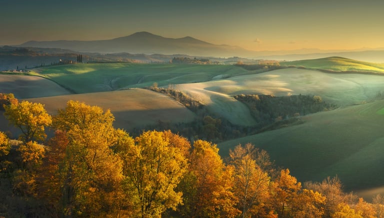
A route in Val D'Orcia that allows you to fully appreciate its beauty and special charm. Certainly one of the corners of Tuscany that cannot be missed in the luggage of a passionate walker. The route, which starts from the beautiful Villa Origo La Foce with its splendid Italian garden (visit not included), leads to the ridge of the Lucciola Bella Reserve (570 mslm) where you can admire glimpses of the Crete Senesi (clay formations). The unpaved road you follow is the famous one from a hundred TV commercials, and you can easily notice Mount Amiata and the Rocca di Tentennano, Radicofani, Pienza and Montalcino. The trail then passes Castelluccio (645 mslm), a small castle but with a long, even bloody, history.
Lenght: 12 km
Height difference: 400 m
The hike starts from the center of the village Vivo d'Orcia. We will take a downhill road to get to the “Contea del Vivo/Eremo” immersed in a lush fir forest. Crossing the very romantic stone bridge and then the stream of Vivo we will find ourselves in front of the imposing castle “Contea” of the Cervini family, to this day still inhabited by the family itself. We will then continue until we enter the Parco del Vivo, immersed in a forest of beech and chestnut trees, where we will have the opportunity to visit the Ermicciolo di San Benedetto (rock church), the characteristic 'seccatoi' or rather, according to some experts, the first inhabited nucleus of Vivo d'Orcia and the springs of the Vivo. We will then return to the starting point by following a loop trail.
Length: 11 km
Height difference: 350 m
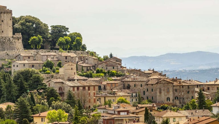


The trail starts near the town of Sarteano in the locality Valverde, which name already anticipates the place, immersed in the green Tuscan hills, with the protagonist being the Oriato stream. In the first part we will visit the high waterfalls of the stream and in the second part the low ones, both immersed in dense vegetation in the woods. Near the high waterfall we will then have the opportunity to visit an Etruscan Necropolis, with the tomb of the Quadriglia Infernale, momentarily closed to the public. Finally, on the return stretch we will find the Old Tobacco Warehouse, long since disused and very impressive.
Length: 12 km
Height difference: 300 m
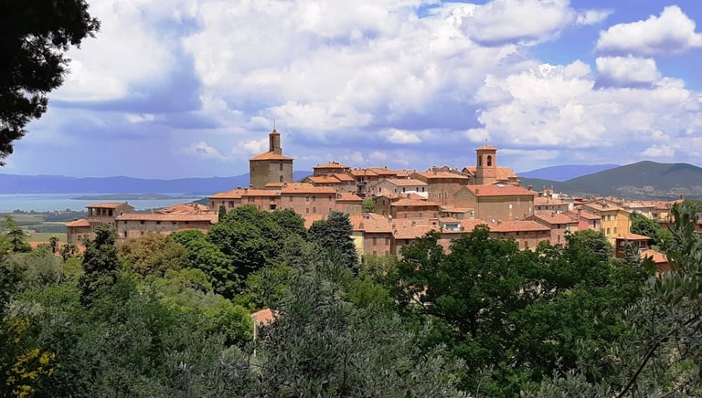
The route that starts from the center of Panicale, reaches the summit of Mount Petrarvella 627 m high. Then descending by paths, it reaches the junction that leads to the small village of Missiano, and in the second part reaches the Capuchin cemetery. A cemetery, abandoned very impressive. On this route there will be a chance to stop for about 30 minutes to do breathing exercises. During the route we will be able to see some Umbrian localities in the distance (Montegabbione, Marsciano beyond the Tiber River Park, Monte Peglia m.837, in the municipality of San Venanzo)
Lenght: 9 km
Height difference: 300 m
Sarteano
Umbria - Panicale
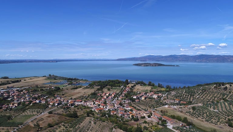

Departing from the church of Sant´Archangelo, the route begins by following a dirt road that then enters the forest, with its rich Mediterranean-type tree and shrub vegetation with the strong presence of holm oak with arbutus, arbutus, broom, cistus, heather, downy oak and hawthorn. Mount Marzolana (586 m. a.s.l.) is thus reached. From here you can appreciate views of the Montalera Castle and the hills of Panicale and Piegaro and the agricultural plain around the lake. Very beautiful is the olive grove that surrounds the farmhouses. In the distance on the left you can glimpse Agello and the hills towards Perugia and in the background the Apennine mountains. It is necessary to skirt the woods to reach the dirt road of Vallicelle that connects Montali to sant'Arcangelo. In a short time, taking a left, a pleasant walk mostly downhill brings us back to the starting point.
Length: 10 km
Height difference: 500
Umbria - Sant'Arcangelo
Contact us for customized treks
We are here to help you plan your trek.


